
Tonga Landscape & information
About
Tonga lies west of the Tongan Trench, on the Indo-Australian plate. The lowest point in Tonga is the Pacific Ocean at 0 m. The highest point is an unnamed location on Kao Island 1,033 m above seal level. Most islands are made from limestone (uplifted coral) at their base or with a limestone layer atop volcanic features.
Read more →
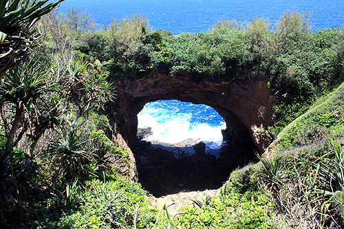
Eua Island
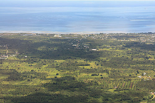
Tongatapu Island
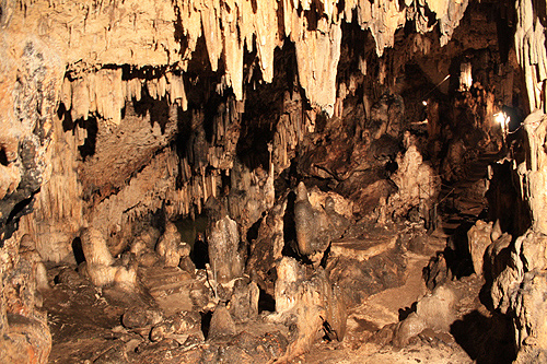
Anahulu Cave
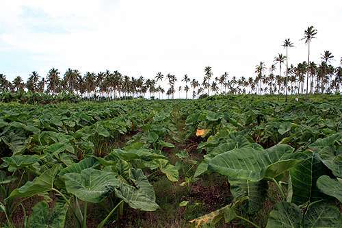
Rural Tonga
Some islands have tall cliffs on one side of their coasts due to volcanic uplift (such as Eua), with coral gardens and sandy beaches on their opposite coast.
Many islands in Tonga are coral cays. They exist in tropical environments throughout the main oceans of the world. They forms when currents dump sediment on the surface of a reef. Over time, the sediment builds up until it is entirely above sea level. They are flat islands with beautiful coral sand beaches.
Author & photographer: David Johnson (Virtual Tonga). Providing a credit or link is appreciated.
Our content: logos, site names, text, photos, and website design are protected by international copyright law.
Original versions of our photos can be purchased / licensed & web versions can be shared subject to conditions.