Auckland Volcanic Field - photos
 |  |  |  |
 |  |  | |
 |  |  |  |
 |  | ||
Related Photo Galleries | |||
 |  |  |  |
About Auckland Volcanic Field
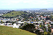
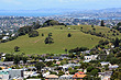
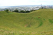
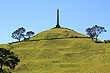
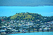
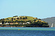
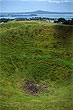
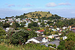
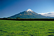
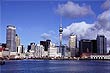
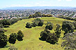
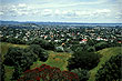
Auckland city lies within the Auckland Volcanic Field. The field has over 50 volcanic vents with many being visible as cones, while others have been quarried away. Others take the form of depressions, with some of these being filled with water to become lakes or lagoons.
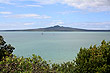
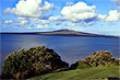
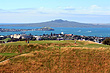
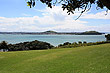
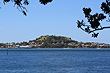
Rangitoto the biggest volcano is a cone that is surrounded by water hence the name Rangitoto Island. This volcano erupted in early Maori history destroying settlements on the neighbouring island of Motutapu. Since that time, Rangitoto has been dormant. Silence pervades the island as there are almost no insects or birds due to acidic soil.
Author & photographer: David Johnson (Virtual New Zealand). Providing a credit or link is appreciated.
Our content: logos, site names, text, photos, and website design are protected by international copyright law.
Original versions of our photos can be purchased / licensed & web versions can be shared subject to conditions.