Wellington - photos
 |  |  |  |
 |  |  |  |
 |  |  |  |
 |  |  |  |
Related Photo Galleries | |||
 |  |  |  |
 |  |  |  |
About Wellington
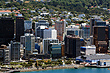
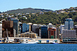
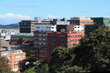
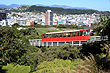
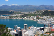
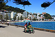
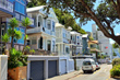
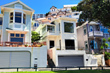
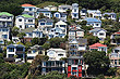
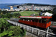
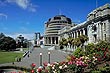
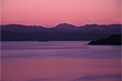
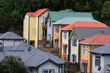
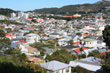
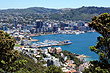
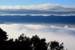
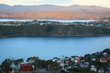
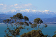
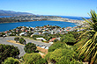
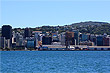
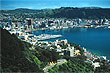
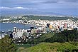
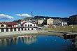
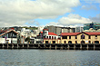
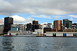
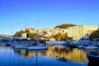
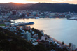
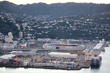
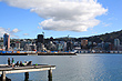
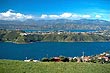
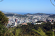
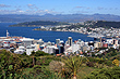
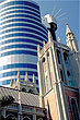
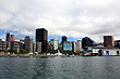
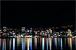
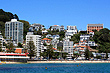
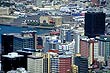
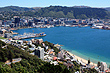
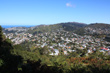
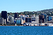
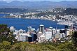
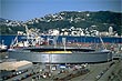
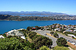
The capital city of New Zealand is Wellington. Chosen for its geographic central location and magnificent harbour, this goverment city has developed into the cultural capital of the nation. Wellington's suburbs spread out toward the south and eastern coastlines and are hemmed in by scenic mountains to the north and west.
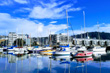
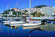
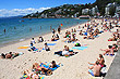
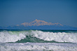
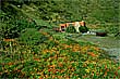
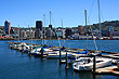
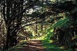
Wellington is also the encompassing region and which has a good number of regional parks and native forests as well as rural areas. The mountains and coast allow for different activities like bush walking, kayaking, and surfing. There is also a a grid of walking tracks through the city and a wide array of coastal and mountain walks further out.
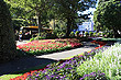
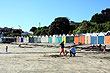
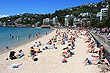
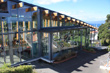
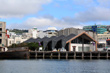
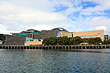
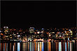
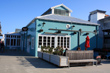
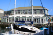
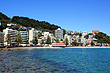
The city itself known for its quality cafes and restaurants set within a compact CBD with a lively and bustling atmosphere. On offer is a wide range of shopping, nightlife spots, and entertainment. The waterfront is a favourite as it has walks, parks, shops, and New Zealand's award winning national museum, Te Papa.
Travel guides and companies consistently rank Wellington highly with the Lonely Planet dubbing the city as the "coolest little capital in the world". Often making the world's top 10 in quality of life surveys, Wellington is a great place to live as the locals will tell you. The city has it all and you don't have to travel far to see it all. Read more ››
More Photos | |||
 |  |  |  |
 |  |  |  |
 |  |  |  |
 |  |  |  |
 |  |  |
 |
 |  |  |  |
 |  |  |  |
 |  |  |  |
 |  |  |  |
 |  |  |  |
 |
 |
 |
 |
 |
 |
 |
|
Looking for more Wellington photos?
Visit Geographic Media →
Author & photographer: David Johnson (Virtual New Zealand). Providing a credit or link is appreciated.
Our content: logos, site names, text, photos, and website design are protected by international copyright law.
Original versions of our photos can be purchased / licensed & web versions can be shared subject to conditions.