Tauranga - photos
 |  |  |  |
 |  |  |  |
 |  |  |  |
 |  |  |  |
Related Photo Galleries | |||
 |  |  |  |
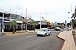
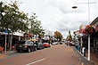
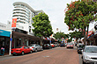
About Tauranga
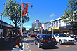
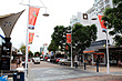
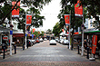
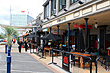
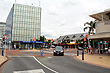
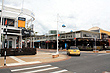
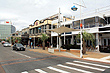
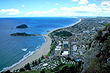
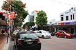
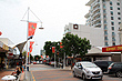
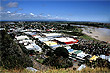
Tauranga is the major centre in the Bay of Plenty region. It is 85 km north of the tourist town of Rotorua and near the Coromandel.
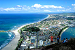
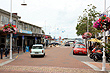
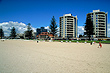
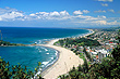
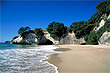
The adjoining town of Mount Maunganui has great beaches, cafes, and a spectacular walk to the top of the mount providing stunning views of the city and coastline below. Read more ››
Author & photographer: David Johnson (Virtual New Zealand). Providing a credit or link is appreciated.
Our content: logos, site names, text, photos, and website design are protected by international copyright law.
Original versions of our photos can be purchased / licensed & web versions can be shared subject to conditions.